Master Flood Risk Assessment: HEC-RAS & QGIS Pro 2024
Focused View
7:17:50
1 - Presentation.mp4
02:31
2 - Technical background.mp4
00:50
3 - Outlines of the course.html
4 - Doc-Courses.docx
4 - Downloading the open source software.mp4
10:49
5 - 02-Data-Preparation.mp4
49:00
5 - Data Preparation in QGIS.mp4
49:00
5 - How-to-Add-Google-Satellite-Imagery-and-Google-Maps-to-QGIS.docx
6 - Projection and Spatial reference coordinates systems.mp4
09:59
7 - Creation of a new Ras Terrain.mp4
08:23
8 - Streamline creation with HecHMS.mp4
34:35
9 - Perimeter Delineation.mp4
12:09
10 - Refining Region.mp4
09:07
11 - Land use Land cover.mp4
14:49
12 - About Calibration.mp4
14:37
13 - Mannings n value Roughness coefficients.mp4
14:23
14 - Rain on Grid.mp4
22:54
15 - Analysis of the Rain on Grid Results.mp4
21:42
16 - Courant Number.mp4
14:51
17 - Rain On Grid update with BC Line.mp4
17:06
18 - ROG results analysis update.mp4
14:28
19 - Creation of a New geometry for a Flow Hydrograph study.mp4
13:16
20 - Terrain Modification.mp4
32:13
21 - Flow Hydrograph analysis.mp4
26:28
22 - Creation of a Dam Bypass Channel and houses using Terrain modification Tools.mp4
14:37
23 - Visualisation of the results.mp4
10:48
24 - 3 D Visualisation of the results.mp4
01:30
25 - Tsunami Hazard Big wave Modelling using HecRas.mp4
17:45
More details
Course Overview
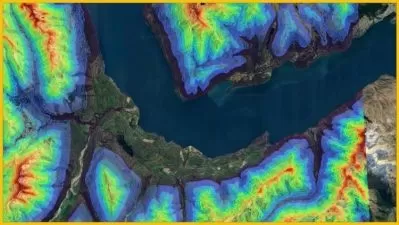
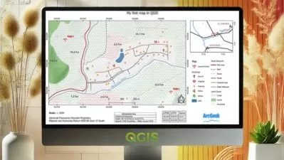
This hands-on course teaches professional flood risk assessment using open-source tools (HEC-RAS, HEC-HMS, QGIS) to create inundation maps, analyze hazards, and simulate flood scenarios for informed planning.
What You'll Learn
- Master HEC-RAS for flood modeling and terrain analysis
- Create professional inundation maps and 3D visualizations
- Conduct complete flood risk assessments from scratch
Who This Is For
- Undergrads seeking GIS/flood modeling skills
- Professionals in water resources/urban planning
- Landowners assessing flood risks
Key Benefits
- Learn industry-standard open-source tools for free
- Practical skills for real-world flood assessment projects
- Includes tsunami and coastal hazard modeling
Curriculum Highlights
- Data Preparation & QGIS Fundamentals
- HEC-RAS Terrain Modeling & Hydrographs
- Advanced Applications & 3D Visualization
Focused display
Category
- language english
- Training sessions 25
- duration 7:17:50
- Release Date 2025/05/11


