
Master GIS Groundwater Mapping: Complete 2024 Pro Guide
Focused View
4:38:29
1 -introduction of the course.mp4
05:28
1 -How to download study areas boundary.mp4
02:40
1 -gadm41 DEU shp.zip
2 -How to define reference system(coordinate system).mp4
09:29
3 -How to create elevation raw raster.mp4
14:03
3 -astgtmv003 n53e013 dem.zip
4 -How to create slope raw raster.mp4
03:35
5 -Rainfall(1.video).mp4
20:27
5 -cru ts4.zip
6 -Rainfall (2.video)Precipication raw raster.mp4
02:12
7 -How to download Global Soil data SWAT Database.mp4
15:01
7 -Soil.rar
8 -33U 20230101-20240101.rar
8 -How to download LULC tif and how to prepare LULC raw raster.mp4
17:09
9 -Geomorphology.rar
9 -How to create Geomorphology raw raster.mp4
16:40
10 -Hydrology Analysis.mp4
17:02
11 -How to create drainage density raw raster.mp4
06:15
12 -How to create Linemant Density raw raster.mp4
19:07
13 -How to create NDVI raw rasterHow to download Landsat 9 (Band 4 and Band5).mp4
19:46
13 -Landsat 9.rar
14 -How to create TWI raw raster.mp4
18:14
15 -How to create distance to streams raw raster.mp4
10:41
1 -Concept of reclassification.pptx
1 -Lets understand concept of the reclassification method.mp4
08:20
2 -Lets Reclassify all raw rasters as randomly.mp4
24:00
1 -Concept of Overlay Analysis.mp4
11:19
1 -Scale and Influence values.rar
2 -Scale and Influence values.rar
2 -Weighted Overlay Analysis Process.mp4
22:40
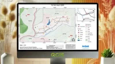
1 -Printing.mp4
11:17
2 -Calculating Areas as Sq Km.mp4
03:04
More details
Course Overview
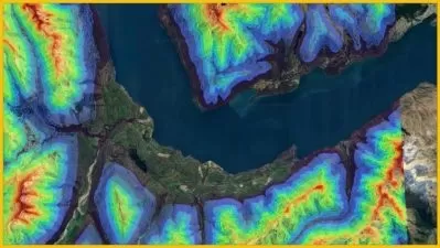
Master groundwater potential zone analysis using ArcGIS 10.8 through weighted overlay, reclassification, and remote sensing methods. This comprehensive course teaches professional techniques for hydrological mapping applicable to any global study area.
What You'll Learn
- Weighted Overlay Analysis with influence/scale values
- NDVI, TWI, and 11-criteria raster creation
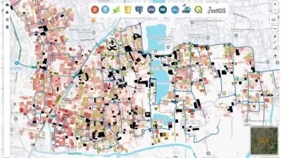
- Printing professional maps & calculating zone areas
Who This Is For
- Hydrology & geological engineers
- GIS students & professionals
- Land management specialists
Key Benefits
- Hands-on raw raster data creation
- Step-by-step spatial analysis methods
- 4.6-hour applied curriculum
Curriculum Highlights
- Creating elevation/slope/rainfall rasters
- Reclassification methodology
- Weighted overlay analysis process