Master QGIS 3: Complete GIS & Spatial Analysis Course
Focused View
2:39:04
1-introduction.mp4
00:50
2 -QGIS.zip
2 -QGIS overview and plugin installation.mp4
04:05
2 - Download and installation.html
1 -Georeference an image.mp4
04:08
2 -Georeferencing an image without control points (optional).mp4
03:24
1 -Creation of vector layers (shapefiles).mp4
02:28
2 -Creation of vector layers (geopackages).mp4
02:30
3 -Working with points.mp4
03:03
4 -Working with lines 1.mp4
04:19
5 -Working with lines 2.mp4
03:47
6 -Working with polygons 1.mp4
04:46
7 -Working with polygons 2.mp4
05:45
8 -Control points.csv
8 -Import UTM coordinates from a table.mp4
02:29
1 -Create new fields in tables.mp4
04:30
2 -Enter information into table fields.mp4
07:34
2 -Fields names.docx
3 -Calculation of area, perimeter and length.mp4
03:04
4 -XY coordinate calculation.mp4
04:26
4 -expression dms.txt
5 -Calculate Geometries in a Second with ArcGeek Calculator.mp4
03:16
6 -Operations with tables.mp4
03:07
1 -Symbology of points, lines and polygons.mp4
03:07
2 -Import new symbology.mp4
03:10
2 -maki a-i.zip
2 -maki j-z.zip
3 -Labels.mp4
04:51
4 -3D view (optional).mp4
01:40
5 -General structure of a map.mp4
01:57
5 -map structure.zip
6 -Title.mp4
01:34
7 -Map Body.mp4
01:09
8 -Graticules.mp4
04:32
9 -North.mp4
00:36
10 -Location Map.mp4
08:12
11 -Legend.mp4
02:38
12 -Scales.mp4
02:46
13 -Insert boxes.mp4
02:15
13 -information card.zip
14 -Export an image or PDF map.mp4
01:53
1 -Areas of influence (Buffer).mp4
03:08
2 -Intersect.mp4
01:18
3 -Clip.mp4
01:38
4 -Merge.mp4
00:58
5 -Dissolve.mp4
01:42
6 -Define projection.mp4
01:42
7 -Re-project.mp4
03:04
1 -Importing a Table XY Coordinates.mp4
04:54
2 -Interpolation (IDW).mp4
05:26
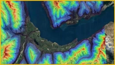
3 -Slope maps.mp4
03:39
4 -Reclassifications.mp4
03:40
4 -slope classes.zip
5 -Contour Lines.mp4
04:58
6 -Viewshed.mp4
02:48
7 -Map Algebra.mp4
03:50
8 -Delineation of a Watershed.mp4
05:43
9 -Topographic Profiles.mp4
02:45
More details
Course Overview
Unlock the power of QGIS 3 from scratch! This hands-on course teaches you to create professional maps, perform spatial analysis, and master essential geoprocessing tools for real-world GIS projects.
What You'll Learn
- Create and edit vector layers (points, lines, polygons)
- Design publication-quality maps with advanced symbology
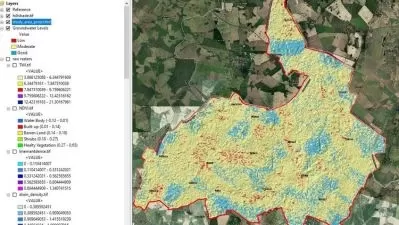
- Perform spatial analysis (interpolation, watershed delineation)
Who This Is For
- GIS beginners wanting practical QGIS 3 skills
- Urban planners/environmental scientists adding GIS tools
- Geography students mastering open-source GIS software
Key Benefits
- From installation to advanced spatial analysis
- Includes real-world georeferencing techniques
- Professional map design and layout skills
Curriculum Highlights
- Vector Layer Creation & Editing
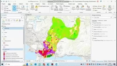
- Professional Map Design
- Geoprocessing & Spatial Analysis